
Markers
There are a series of control markers approximately every 500 metres along Chesil Beach from Ferrybridge to Abbotsbury and a smaller number along the Fleet landshore. These points are accurately surveyed and provide known locations to assist research work on the Fleet and Chesil Beach. They were established in 2004 in a joint effort between the Fleet Warden and a team from Portsmouth University.
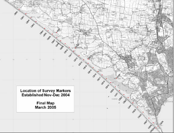
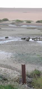
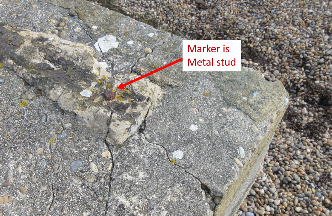
The majority of the markers consist of a length of substantial angle-iron driven into the ground. The surveyed point is the top of the post at the point where the two sides meet. Where an existing feature is in the right position then this is used. An example is CB28 shown below. Precise locations can be found here.
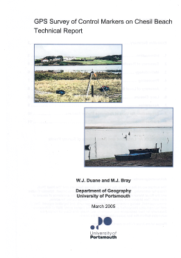
A full description of the surveying techniques used and of each of the control markers is available in a report produced by Portsmouth University which can be downloaded by clicking here.
Please note that the provision of this information does not give or imply permission to access some of the control markers which are located on private property. Please contact the Fleet Warden in the first instance before visiting the more remote locations. He can advise on access restrictions that may apply and on the current state of the markers. Contact the Chesil Bank and the Fleet Nature Reserve office. Contact details are on their website.
In 2019 we started to re-survey the control markers. After 15 years in a very exposed marine environment it is likely that the metalwork has deteriorated and some may have suffered damage. Click here for more information on the re-survey.
This re-survey work has been on hold since the start of the Covid pandemic. It is hoped to re-start the work in 2023.
CB29CR
Note that the CB29CR marker is out of position. It was dislodged by waves during the February 2014 storms and could not be replaced into the correct position.